
If I had booked my hotel at least the night before I could have organised myself better. I didn’t book my hotel until the afternon before arriving to Perron. My first choich was well located to continue the next day, but FULL. By the time I found a second hotel that had also gone. In the end I had to take a hotel in the suburb at the wrong -west- end of Perron. This resulted in much more walking than I had expected. I was knackered after about 29km walking. The sun was wery strong. Too late before I left London, I discovered that my polaroid clip-ons were damaged and I suffered the penalty, my eyes were hurting. I consequently needed to buy new ones before I could continue.
I was off-course by many km, so just to get clip-ons and walk back on track would take hours and I would be -out-of-sync with my accommodations ahead, which I early on had to reduce to about 20-25km max. So all accommodation had to be researched anew.
In Reims a couple of friends were going to meet me and stay the night. I would meet them after a short rail journey from Tergnie. Unfortunately one came down with high fever, so no fun at the end.
In the end the negatives outweighed the positives, so I decided to return to London.
I had done some basic internet research the evening before, so left early for a breakfast in town.
I used the Deutsche Bahn’s and Rome2Rio apps and had all buss and train times to take me to Chaulnes SNCF, the closest railway station and from there to Amien and the choice of three different connection points to Eurostar and London. The first bus leaving 12.28 for Chaulnes SNCF, bags of time, BUT for my life I could not figure out where the bus stop Perron Chapelet was located.
I took a taxi, who dropped me off at the wrong place le Chapelet, a girls school, so 1.5km walk back into town. By now it was noon. Luckily a young school girl waited at a bus stop and was sure it was the right stop for Chaulnes. The fourth bus was the right one. I asked all the previous drivers, better safe than sorry.

We arrived at the Chaulnes station. What? No trains! The time table was correct, but it turned out that the rails were being replaced and 5 hourly trains replaced by one bus in three hours time. The driver contacted the station master, they came up with the suggestion that I should continue with the same bus to Mondidier, where I could take another bus 18:30 to Amien. 
On to the bus again and getting off at Mondidier. The bus driver told me they are famous for their potatoes. The friendly bus driver drove off. I waited at the staion bar. Three hours to kill. I calculated what would it cost me to stay overnight in Amien. Perhaps 80euros all in. A taxi could be 95Euros. I mentioned to the bar owner, that if someone could drive me to Amiens SNCF station I’d pay 80euros cash. He talked to an off-duty bus driver at the bar. Oui why not ? About 40 minutes drive to Amien.
During the drive it turned out the off duty driver was a local boy, who had worked 10 years at Euro Disney, but in the end it got boring, so he started driving busses.
Amien SNCF ticket desk, Discussion back and forth, then we decided the safest option was to take the train to Paris Gare du Nord. “You buy the ticket there, if there are seats it is OK”.
Boarded the train at platform 1. I happened to have my GPS on during the journey. The TGV reached 156km/h and Yes, that is Sacre Coer in the distance
So dear folks, now on the 21.00 Eurostar to London St. Pancras at a cost of 236 euros, gulp! The speed is 298km/h.
As the Germans say: “Wer eine Reise tut can etwas erzählen” The one who travels can tell you something.
Planning saves money. You can also solve problems by throwing money at them.


 A solder with perhaps frostbitten feet is looked after in the snow by the locals at a warming fire.

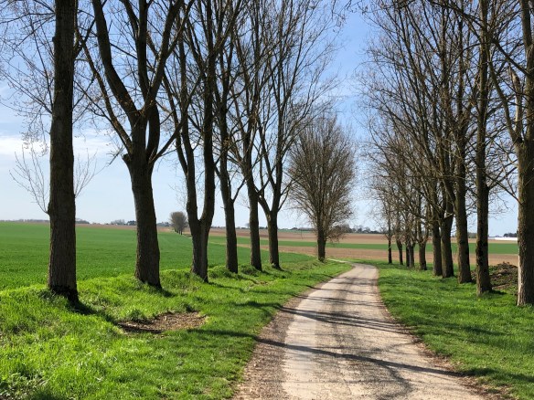
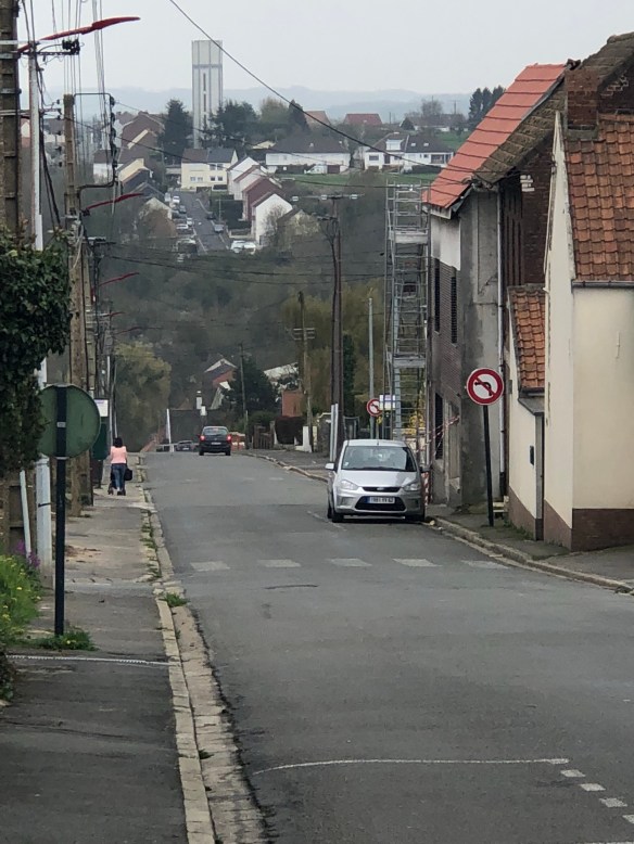
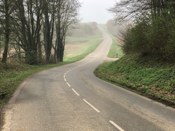
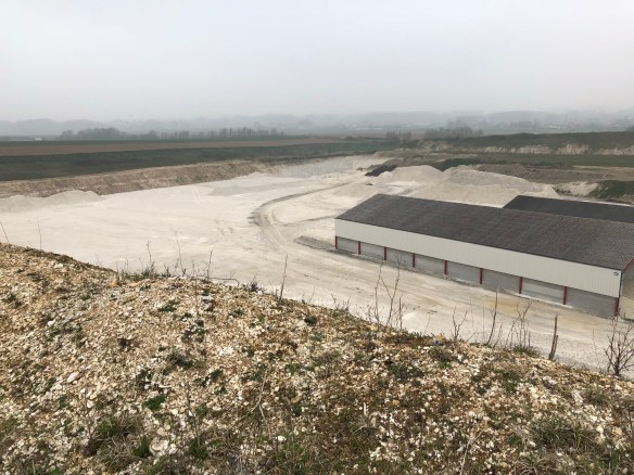
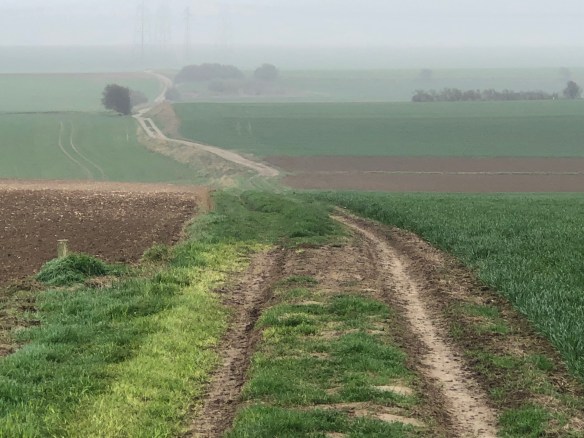
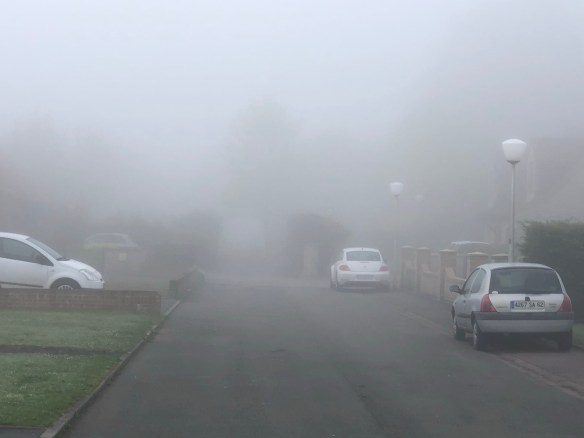 Fog as usual. The challenge was to get to Arras 30km along my route. I had shortened my daily distances to max. 25km to be realistic and avoid problems. Public transport into Arras? The original distance to Arras from Caucourt, my earlier planned stop 6-7km further on , was 23.5km so the total would come closer to 30km which I wanted to avoid. Anyway let’s see how it goes. Back on my route and after about 2km on the footpath of The Chausee Brunehaut the D341 main road joined from the left. My own originally planned route was to turn right off the main road. I had now measured the distance to Arras along the straight D341 main road and it was a further 19km. The total distance would be 21km i.e. within my comfort zone. (The short side of an A4 page is 21cm = 21km on a 1:100000 scale map).


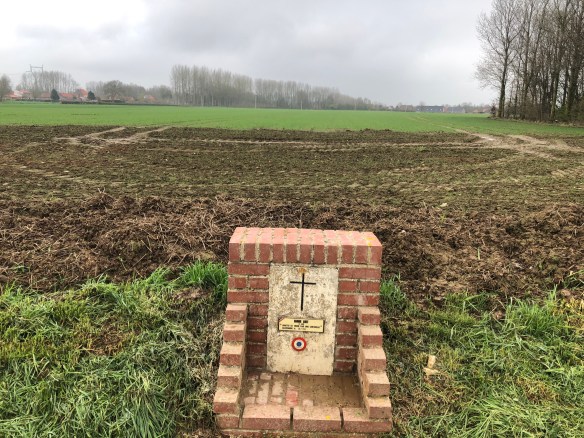

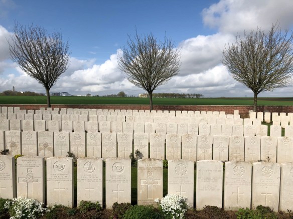
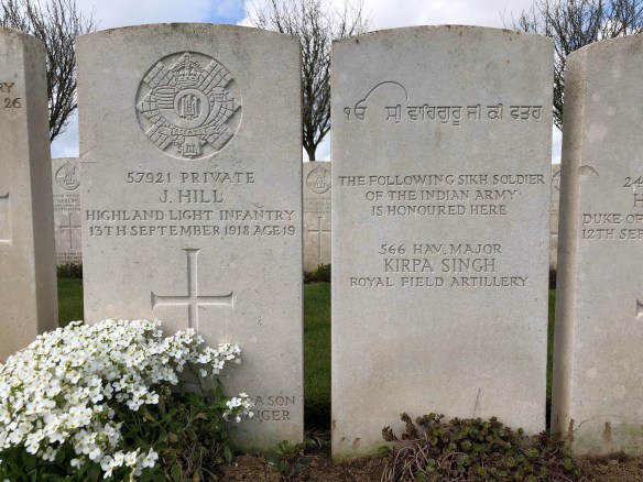
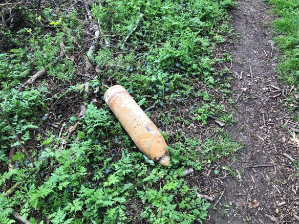
 In that church yard are the graves of a British flight crew that crashed nearby 1943.
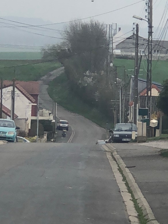
  It sadens me that so much effort and enthusiasm has been spent on it, but it is not for the pilgrims walking to Rome. It meanders too much. Probably a way of telling local people about their past history and culture also encourage them to get up and walk, which is a good thing. I shall walk on the grey stretch in the middle of the picture, the Chaussee Brunehaut, not the most pleasant experience, but it is a part of history under my feet.
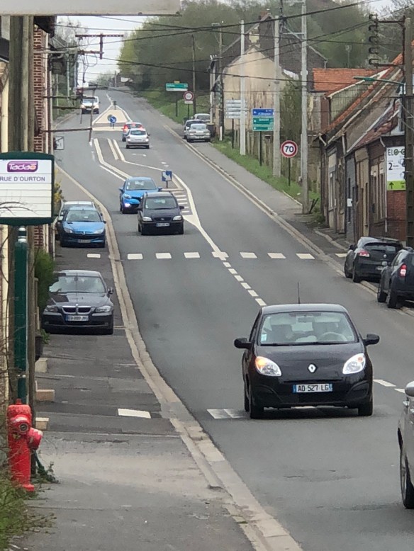

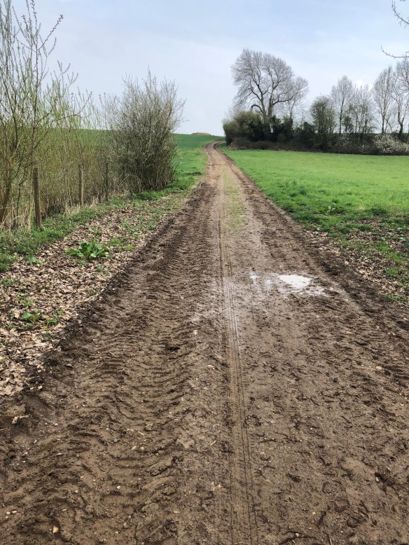
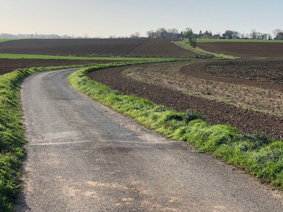
 It drains my energy. I am still unfit. I am told it gets better. Once I am on top of the ridges it is an endless view of agricultural field.
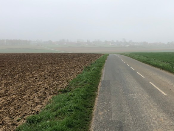 However todays walk was more on flatis plateaus, I could feel the roads were made for horsedrawn carriages in the 19th Century. Pleasant day. I did pass temptations along the route in Theouranne.

 Was shown my room,spartan 1950 French modern. I was told: Supper at 19.30. Meet here 19.20.
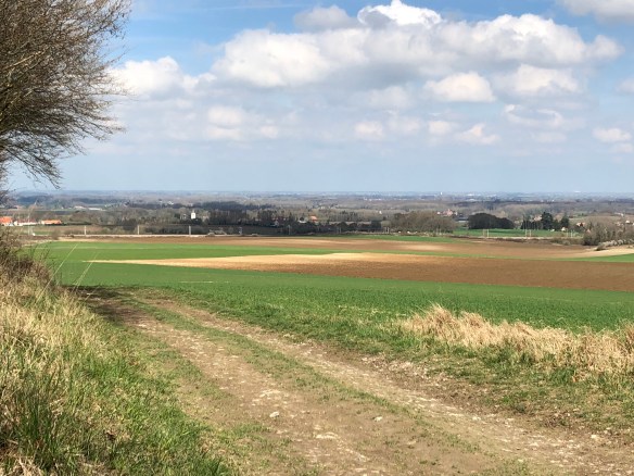


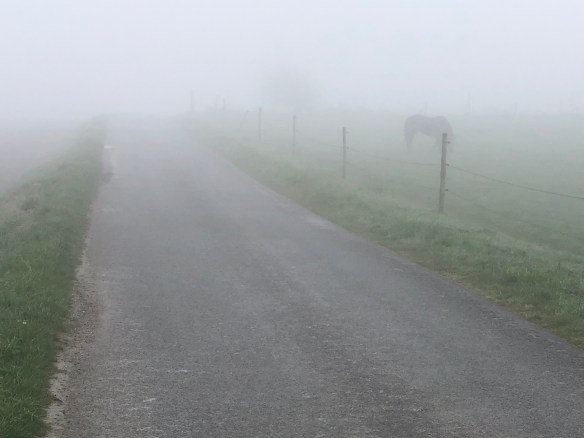
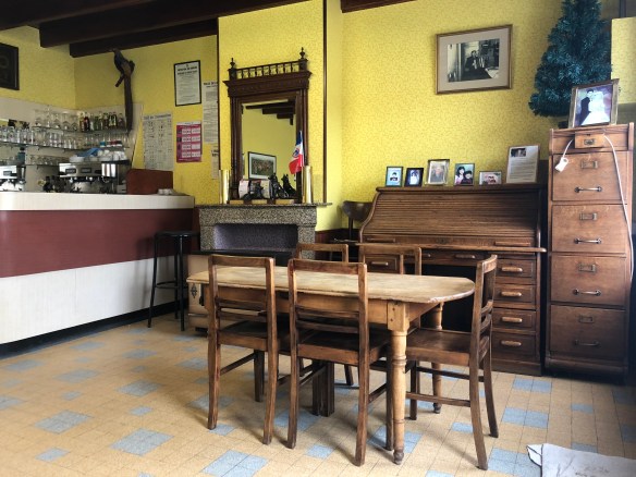
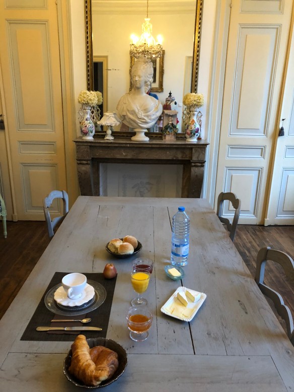
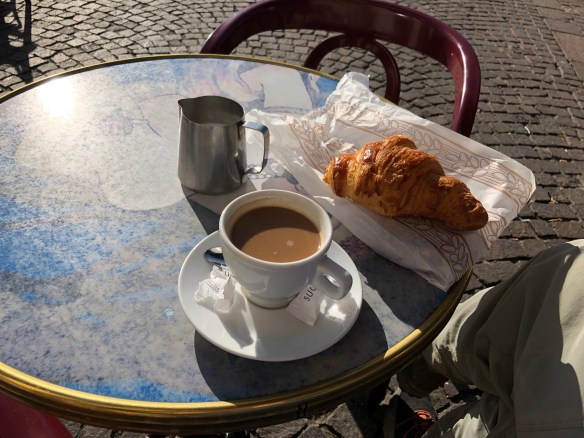
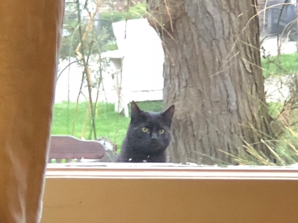 I forgot to take something for breakfast on the ferry, started my day with a hebal tea instead of my usual two cups of Nespresso. All my hip pain from the Canterbury to Shepherdswell walk was gone. YES! The weather was very misty. I needed something to eat, so I walked along the main road to a supermarket further on. I passed the baker, but the smell of freshly baked bread too much, so I returned and got a baquette. The supermarket provided ham. Halfway to the beach I had my breakfast. I decided it was no pleasure to walk along it in dense fog, so continued to Sangatte along a nice pavement, where I finally got my coffee in the caff “Le weekend”. Two euros for a cafe noir. Further on I turned left and after a short walk hit my target. The old Roman road to Guines. It is just the stretch, not paved with flag stones as Via Appia from Rome. However, it runs straight like a bullet. A combination of paved roads, farm tracks and footpaths. On the internet I had found a pizzeria and a caff in a good timing for a lunch break near the path. The pizzeria had shut permanently and the caffee was run by a very old man with his bedridden wife just noticeable in the backroom. He had nothing edible apart from crisps and only served coffee and wine. The interior <picture> was untouched, a gem for anybody who wants character. I was charged one euro. Too cheap. The last stretch of Roman road before Guines, I walked on a newly plowed field. The farmer had simply destroyed the path. On modern maps it is shown as a foot path. During my walk from Canterbury to Guines I found two benches to sit on. One in England and one in France . We are talking about 55km of walking, so I walked into the Guines tourist office and mentioned it. “People are ment to walk the Via Francigena not sit at it” was the rude answere in good English. My polite reply made her blush and after that we the managed to discuss the matter of les banks. My night quarters was in the most stunning chambre d’haute i.e. B&B. I hope I can add the pictures. A bust of Marie Antoinette, the last Queen of France looked down on me at breakfast. The owners cat observed me too.
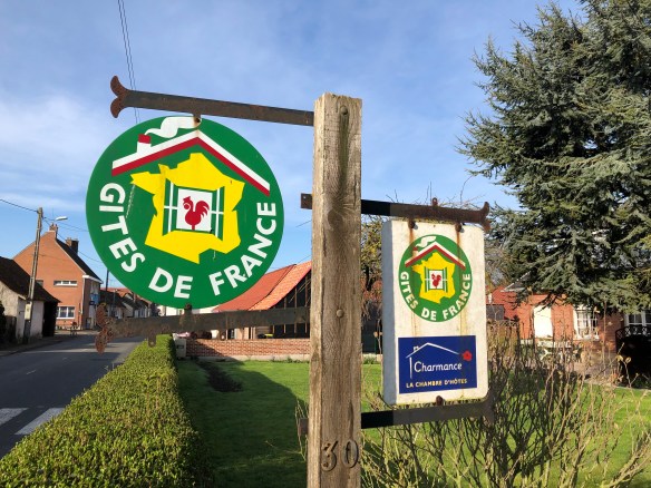